 Home
Home
 網站導覽
網站導覽
 Map
Map
 Login
Login
National
Ocean
Database
And
Sharing System


News
About NODASS
Promoting transparent governance and enhancing public participation in
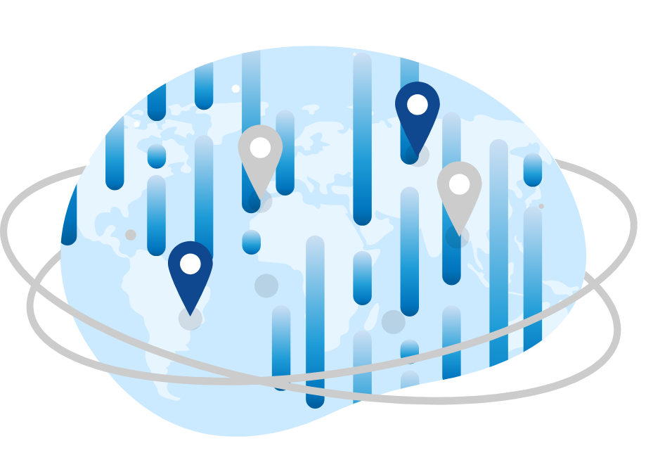
public policy are now embraced by governments worldwide, and through the government's open-source data, inter-agency data exchange can be facilitated to improve administrative efficiency. In Taiwan, various government agencies and academic research units have established databases and open data platforms. However, marine observation and research-related data are still scattered across different sources and cannot be used effectively. In response, the Ocean Affairs Council has undertaken the planning and implementation of the "National Ocean Database and Sharing System" (NODASS) in accordance with the National Ocean Basic Law Article 12. The goal is to integrate marine data from various agencies, assess research capabilities and resource situations, and establish a comprehensive marine big data collection and integration system. The platform provides data display and various value-added service products, serving as a one-stop information platform for Taiwan's marine data needs. This is to fully leverage the integration benefits of research resources and apply them to various aspects such as marine development planning, marine policy, marine spatial planning, environmental ecology conservation, maritime safety and rescue, disaster prevention and relief, and the establishment of environmental conservation mechanisms.


Data
0
GBData Number
0
System
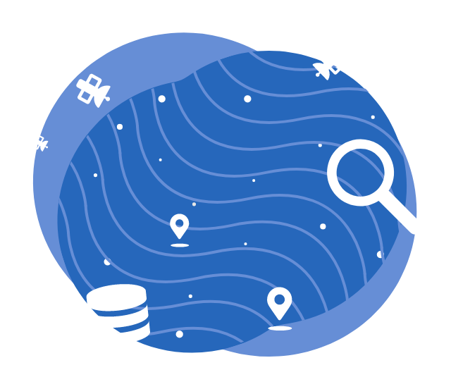
NODASS integrates marine domestic and international database and various observation technologies. Data sources include Academia Sinica, Water Resources Agency, Central Weather Administration, Forestry and Nature Conservation Agency and many more. Internationally, data is sourced from organizations such as the National Oceanic and Atmospheric Administration (NOAA) and the National Aeronautics and Space Administration (NASA), and the European Space Agency (ESA). The date is based on three major sources: satellite remote sensing, ocean observation, and numerical models, including wind, waves, tides, currents, vessel distribution, sea surface temperature, sea surface height, salinity, seawater quality, biology, and many more. NODASS also offers diverse services such as spatiotemporal search engine, ecological data search, station data comparisons, dynamic data displays, satellite derived products and more.
Future
Based on the foundation of marine big data, NODASS will continue to integrate technologies such
as Artificial Intelligence, Deep Learning, Data Assimilation, and Nowcast in the future. This integration will provide three-dimensional observation, real-time monitoring, and integrated prediction for smart ocean governance and services, aiming to achieve the goal of national smart governance of the ocean.
If you use information or data from NODASS, please cite: National Academy of Marine Research (2026). [online] National Ocean Database and Sharing System, https://nodass.namr.gov.tw/