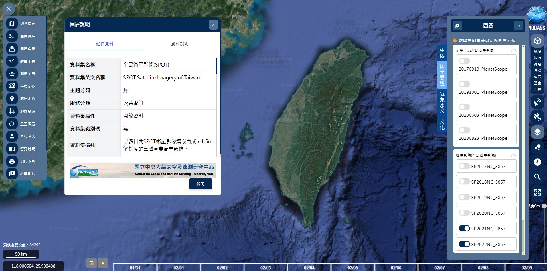
「全島衛星影像(SPOT)」 資料集新增2020、2021與2022年的影像。可於圖台的「國土變遷圖層」檢視,會員登入後亦可於資料集頁面直接下載檔案。
圖一、2022年的「全島衛星影像(SPOT)」展示於NODASS圖台。
If you use information or data from NODASS, please cite: National Academy of Marine Research (2026). [online] National Ocean Database and Sharing System, https://nodass.namr.gov.tw/
 Home
Home
 網站導覽
網站導覽
 Map
Map
 Login
Login